
What Happened: The Core Developments
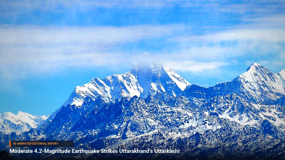
A moderate earthquake measuring 4.2 on the Richter scale jolted the Uttarkashi district in the northern Indian state of Uttarakhand. The tremor rattled residents and prompted brief panic in mountainous settlements, sending locals running outdoors as the ground shook.
Crucially, this event was not an isolated incident. It marked the second seismic disturbance to hit Uttarakhand on the same Saturday. Just four hours prior to the Uttarkashi tremor, lower-intensity tremors were recorded in the state's Bageshwar district, heightening anxiety across the region and prompting state emergency services to activate monitoring protocols.
Background & Key Context
Uttarakhand and the broader Himalayan belt lie within Seismic Zone IV and V, making them one of the most ecologically fragile and earthquake-prone regions in the world. The ongoing tectonic collision between the Indian Plate and the Eurasian Plate continuously accumulates immense subterranean stress, which is periodically released through tremors ranging from minor micro-seisms to catastrophic major earthquakes.
In recent years, the region has experienced a noticeable frequency of lower-to-moderate magnitude shakers. While these events often cause little to no immediate damage, geologists and seismologists closely monitor clustered seismic activity as a potential indicator of stress redistribution along major Himalayan fault lines.
Key Takeaways
- Magnitude and Location: A 4.2-magnitude earthquake struck Uttarkashi district in Uttarakhand.
- Multiple Tremors: This represented the second seismic event in the state on Saturday, following a lower-intensity tremor in Bageshwar four hours earlier.
- Initial Damage Report: Local authorities confirmed that no immediate casualties, injuries, or structural damages have been reported.
- Geological Vulnerability: The events underscore the precarious seismic reality of the Himalayan tectonic zone.
- Emergency Preparedness: State disaster management cells remain on alert to conduct swift reconnaissance across remote terrain.
Impact, Analysis & Global/National Reactions
Following the twin tremors, district disaster management authorities in Uttarkashi and Bageshwar initiated ground checks, reaching out to remote villages and hamlet councils. Because the epicenters were located in rugged terrain, communication lines and local police stations were immediately tasked with surveying vulnerable infrastructure, including traditional slate-roofed homes and vital mountain roads.
Disaster management experts emphasize that while a 4.2-magnitude earthquake is classified as moderate—rarely capable of triggering widespread devastation on its own—the frequency of clustered tremors warrants heightened vigilance. Emergency response agencies continue to stress the importance of earthquake-resistant construction standards in rural Himalayan sectors, where traditional masonry remains susceptible to shifting soils.
What's Next: Looking Ahead
Seismological institutes, including the National Center for Seismology (NCS), are continuing to monitor aftershock patterns in Uttarakhand. Regional authorities are utilizing the incident as a reminder to conduct public awareness campaigns on earthquake safety protocols, ensuring that communities living along major fault lines remain prepared for sudden seismic shifts.






Be the first to comment
Start a useful conversation around this story.